How Many Countries in Africa in 2024? Complete List of African Countries
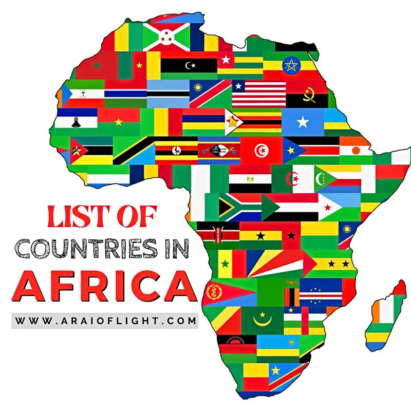
Oh Africa. This beautiful continent, the second largest and the second most populous in the world, is renowned for its alluring landscapes, diverse culture, natural resources, warm people, intense wildlife, and its belief in a universal bond of sharing that connects all of humanity. This distinctively unique continent, the oldest inhabited landmass on Earth, is home to the longest river, the largest desert, and the tallest freestanding mountain in the world. The Mother Continent, once called Alkebulan or the garden of Eden, has been inhabited by humans for over 5 million years. What we have now is a culmination of cultures, traditions, stories, customs, struggles, and triumphs over an extensive period of time. In this all African countries list you will learn more about these countries as well as some useful and surprising info to know about each one. You may also be wondering what countries are in Africa and how many countries in Africa.
Read on to discover it all….
All three latitudes — the Equator, Tropic of Cancer, and Tropic of Capricorn pass through a number of countries in Africa, with the majority of its landmass found in the northern hemisphere. The African continent with countries is located between the Atlantic Ocean on the west and the Indian Ocean on the east. The Mediterranean Sea is to its north while the Indian and South Atlantic Oceans meets in the south.
With a land area of about 30.37 million km² (11.7 million mi²), Africa encompasses over 6% of Earth’s total surface area and a fifth of the world’s land area.
Africa is home to around one-third of the world’s languages with over 2,000 living languages spoken here. With 1,421,117,003 billion people as of April 2023, Africa accounts for about 17.5% of the population on Earth. Its population is the youngest of all the continents, with a median age of 19.7, compared to the global median age of 29.6. Niger has the lowest median age in the world at 15.2 years.
But just how many countries are there in Africa? No more guessing, let’s take a look ⬇
HOW MANY COUNTRIES ARE IN AFRICA?
Africa is the continent with the most number of countries. Exactly…
How many countries are in Africa?
Africa has a total of 54 countries or sovereign states that are fully recognised by the United Nations. In addition, there are eight territories ruled by non-African countries and two de facto independent states with limited or no recognition.
Africa’s largest country by area is Algeria, extending over 2,381,741 km² (919,595 mi²). Africa’s largest country by population is Nigeria, with over 218 million people in 2023. The smallest and least populous of the countries from Africa is the island country of the Seychelles.
Only two best countries of Africa were never colonised, namely Ethiopia and Liberia.
The two independent African states with limited or no recognition are Somaliland and Western Sahara.
Africa is also infamous for being the poorest continent. A number of countries in Africa are among the least developed in the world, in large part due to its legacy of colonialism. Read this post to discover the richest countries in Africa.
>> Read next:
- Top African quotes to pay homage to this amazing land
- Visiting Africa? Here are the safest countries in Africa and the 15 most famous African landmarks that are a must see
- The 100 best songs about Africa to get you in the mood
- Where to find the best African sunsets and African proverbs
- 10 beautiful tropical vacation islands
- The most exotic foods eaten in Africa and around the world
- What are the capital cities in Africa?
- Test your general knowledge with these world trivia questions
Find: Africa list of countries ⬇
AFRICAN COUNTRIES LIST 2023
Quick, name a country in Africa? *names African countries
How many countries in Africa did you come up with? I’m willing to bet you know the most famous nations, but what about the lesser-known ones?
Scroll down to find them all.
What follows is the complete African country list, in alphabetical order…
What are the 54 countries in Africa?
1 | ALGERIA
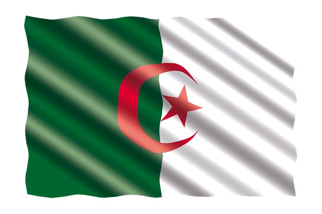
We kick off this list of countries in Africa in alphabetical order with Algeria. Located in the Maghreb region of western North Africa, the Sahara desert occupies much of this predominantly Muslim country. It is bordered by the Mediterranean Sea in the north and many African countries that include Morocco and Western Sahara to the west, Niger, Mauritania, and Mali to the south, and Libya and Tunisia to the east.
Algeria was born in 1962 when it gained independence from France, following the Evian agreements and the self-determination referendum, after an eight-year war.
Algeria country info:
Official state name: The People’s Democratic Republic of Algeria
Region: North Africa
Capital: Algiers (El Djazaïr)
President: Abdelmadjid Tebboune
Population: 45,221,534
Population growth rate: 1.8%
Area: 2,381,741 km²
Elevation: 55 m
Currency: Algerian dinar (DZD, دج)
Gross domestic product: 145.2 billion USD
Country code: +213
ISO: DZ
Language: Arabic, Tamazight (Berber)
Algeria National Symbols:
National day: 5 July
National anthem: Kassaman (We Pledge)
National motto: By the people and for the people (Arabic: بالشعب و للشعب; Bil-shaʿb wa lil-shaʿb)
National dish: Couscous
National animal: Fennec fox
National tree: Oak
National flower: The Iris Tectorum
Did you know:
Algeria, encompassing an area of 2,382 million km² (919,595 sq mi), is the largest country in Africa and the 10th largest nation in the world. Located in north Africa, the Sahara Desert covers almost 90% of the country.
2 | ANGOLA
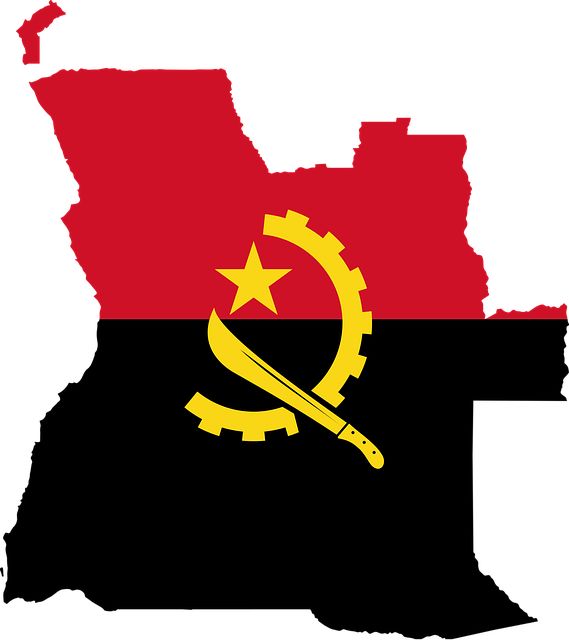
Angola is a country located in the southern region of Central Africa It is bordered by the Atlantic Ocean to the west, Namibia to the south, the DR Congo to the north, and Zambia is its neighbor to the east.
This vast region with a long coastline and central plateau was first inhabited at about 25 000 years BCE. The colonial conquest of Angola by the Portuguese lasted for almost 400 years. The Portuguese withdrew from Angola in November 1975.
Angola country info:
Official state name: The Republic of Angola
Region: Central Africa
Capital: Luanda
President: João Lourenço
Population: 34,642,986
Population growth rate: 3.2%
Area: 1,246,700 km²
Elevation: 1,112 m
Currency: Angolan kwanza (Kz)
Gross domestic product: 62.31 billion USD
Country code: +244
ISO: AO
Language: Portuguese
Angola National Symbols:
National day: 11 November
National anthem: Angola Avante (Onward Angola)
National motto: No official motto
National dish: Moamba de galinha
National animal: The giant sable antelope
National tree: African Baobab
National flower: Welwitschia
Did you know:
Angola, despite being rich in natural resources of oil, diamonds, and agricultural land, remains very poor as a result of a bloody civil war that took place between 1975 and 2002.
3 | BENIN
Benin is a West African country that is bordered by Burkina Faso to the northwest, Nigeria to the east, and Togo to the west. Present day Benin was the site of a prominent West African kingdom, called Dahomey, during the 15th century. The territory became a French Colony from the late 19th century until 1960.
Benin country info:
Official state name: The Republic of Benin
Region: West Africa
Capital: Porto-Novo
President: Patrice Talon
Population: 12,674,296
Population growth rate: 2.7%
Area: 112,622 km²
Elevation: 37 m
Currency: West African CFA franc (XOF)
Gross domestic product: 15.65 billion USD
Country code: +229
ISO: BJ
Language: French
Benin National Symbols:
National day: 1 August
National anthem: L’Aube Nouvelle (The Dawn of a New Day)
National motto: Fellowship, Justice, Labour (French: Fraternité, Justice, Travail)
National dish: Kuli-kuli
National animal: Leopard
National bird: The Western African Sahel Bush Sparrow
National tree: Palm tree
National flower: –
Did you know:
Benin was the first African country to transition from a dictatorship to a democracy. It is also the birthplace of the vodun (voodoo) religion.
4 | BOTSWANA
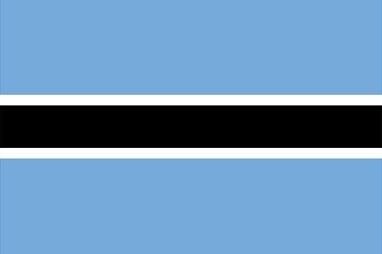
Botswana, a landlocked country in the centre of Southern Africa, is bordered by Namibia, South Africa, Zambia, and Zimbabwe. The country has a landscape that is defined by the Kalahari Desert and the Okavango Delta.
Following 80 years as a British protectorate, Bechuanaland attained self-government in 1965, becoming the independent Republic of Botswana on the 30th of September 1966.
Botswana country info:
Official state name: The Republic of Botswana
Region: Southern Africa
Capital: Gabarone
President: Mokgweetsi Masisi
Population: 2,434,188
Population growth rate: 2.1%
Area: 582,000 km²
Elevation: 1,014 m
Currency: Botswana pula
Gross domestic product: 15.78 billion USD
Country code: +267
ISO: BW
Language: English, Setswana
Botswana National Symbols:
National day: 30 September
National anthem: Fatshe leno la rona (Blessed Be This Noble Land)
National motto: Rain (Tswana: Pula)
National dish: Seswaa
National animal: Plains zebra
National tree: The Morula Tree
National flower: Kalahari Devil’s Claw (Sengaparile)
Did you know:
Africa’s oldest continuous democracy, Botswana, is the biggest diamond producing country in the world.
5 | BURKINA FASO
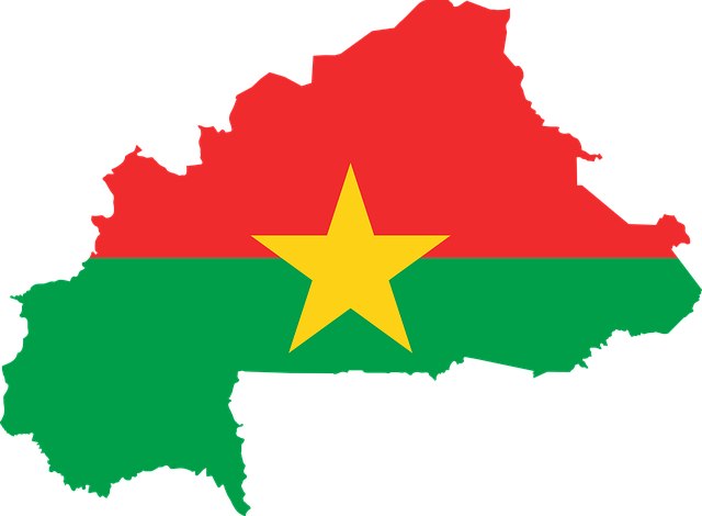
Burkina Faso is a landlocked country in West Africa. It is bordered by Togo and Ghana to the south, Mali to the northwest, Niger to the northeast, Côte d’Ivoire to the southwest, and Benin to the southeast.
Burkina Faso, previously called Upper Volta, was colonized by the French as part of French West Africa in 1896. It became an autonomous republic of France on December 11, 1958 and gained full independence in 1960.
Burkina Faso country info:
Official state name: Burkina Faso
Region: West Africa
Capital: Ouagadougou
President: Paul-Henri Sandaogo Damiba
Population: 21,899,561
Population growth rate: 2.8%
Area: 272,967 km²
Elevation: 305 m
Currency: West African CFA franc (XOF)
Gross domestic product: 17.37 billion USD
Country code: +226
ISO: BF
Language: French
Burkina Faso National Symbols:
National day: 11 December
National anthem: Une Seule Nuit (One Single Night)
National motto: Unity, Progress, Justice (French: Unité, Progrès, Justice)
National dish: Riz gras
National animal: The white stallion
National tree: Shea tree
National flower: Red Rose
Did you know:
Burkina Faso, meaning “land of honest men,” is a leader in African art and culture and is home to the largest craft market in Africa. The first people to settle in the area were the Mossi people in the 11th and 13th century who established powerful kingdoms such as the Yatenga, Ouagadougou, and Tenkodogo.
6 | BURUNDI
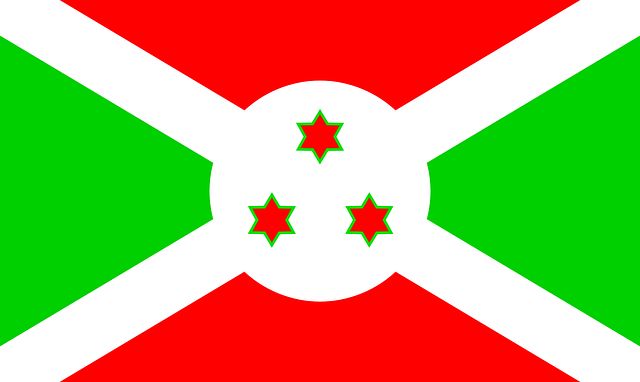
Burundi is a landlocked country in the Great Rift Valley at the convergence of the African Great Lakes region and East Africa. The landscape of this east-central African nation is defined by hills and mountains, dropping to a plateau in the east.
Formerly part of German East Africa, Burundi gained its independence on 1 July 1962, becoming a constitutional monarchy and legally changing its name from Ruanda-Urundi to Burundi.
Burundi country info:
Official state name: The Republic of Burundi
Region: East Africa
Capital: Gitega (political), Bujumbura (economic)
President: Évariste Ndayishimiye
Population: 12,505,296
Population growth rate: 3.1%
Area: 27,834 km²
Elevation: 1,505 m
Currency: Burundi Franc (BIF)
Gross domestic product: 3.258 billion USD
Country code: +257
ISO: BI
Language: Kirundi, French, English
Burundi National Symbols:
National day: 1 July
National anthem: Burundi Bwacu (Our Burundi)
National motto: Unity, Work, Progress (French: Unité, Travail, Progrès)
National dish: Mealie-Meal Pap
National animal: The spotted hyena, the Transvaal lion
National tree: Moringa Oleifera
National flower: Bujumbura flower
Did you know:
Burundi is the poorest nation to win an Olympic title. This tiny African country participated in the Olympic Games for the first time in 1996 and brought home a gold medal. This was achieved by Vénuste Niyongabo who won the first place in the 5,000 m (16404.2 ft.) race.
7 | CAMEROON
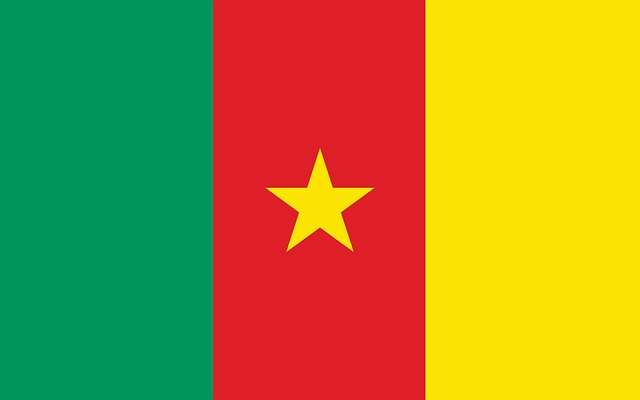
Cameroon, located on the Gulf of Guinea, is a Central African country that borders Nigeria, the Republic of the Congo, Gabon, Equatorial Guinea, the Central African Republic and Chad.
Cameroon achieved independence from France on January 1, 1960. On 21 February 1960, the newly formed nation in Africa held a constitutional referendum, approving a new constitution.
Cameroon country info:
Official state name: The Republic of Cameroon
Region: Central Africa
Capital: Yaoundé
President: Paul Biya
Population: 27,694,561
Population growth rate: 2.6%
Area: 475,442 km²
Elevation: 764 m
Currency: Central African CFA franc (XAF)
Gross domestic product: 39.8 billion USD
Country code: +237
ISO: CM
Language: French, English
Cameroon National Symbols:
National day: 20 May
National anthem: O Cameroun, Berceau de nos Ancêtres (O Cameroon, Cradle of Our Forefathers)
National motto: Peace, Work, Fatherland (French: Paix – Travail – Patrie)
National dish: Ndolé
National animal: The lion
National tree: No national tree declared
National flower: The Red Stinkwood
Did you know:
A number of countries in Africa are known for their untamed landscapes, but Cameroon is often known as “Africa in miniature,” because of its geographical and cultural diversity.
8 | CAPE VERDE
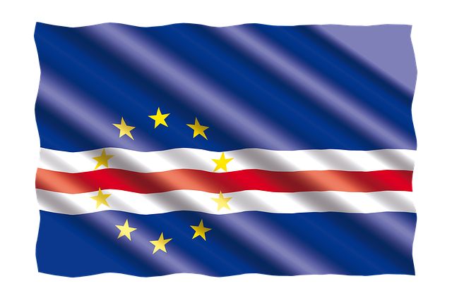
Cape Verde is an archipelago and island country in the central Atlantic Ocean. It comprises ten volcanic islands that lie approximately 570 kilometres (350 mi) off the western coast of the African continent.
Cape Verde becomes a Portuguese crown colony in 1495. Many Cape Verdeans joined Guinea-Bissau in its liberation war against Portuguese rule in 1960 and achieved independence in 1975.
Cape Verde country info:
Official state name: The Republic of Cabo Verde
Region: West Africa
Capital: Praia
President: José Maria Neves
Population: 566,475
Population growth rate: 1.1%
Area: 4,033 km²
Elevation: 10 m
Currency: Cape Verdean escudo (CVE)
Gross domestic product: 1.704 billion USD
Country code: +238
ISO: CV
Language: Portuguese
Cape Verde National Symbols:
National day: 5 July
National anthem: Cântico da Liberdade (Song of Freedom)
National motto: Unity, Work, Progress (Portuguese: Unidade, Trabalho, Progresso)
National dish: Cachupa
National animal: The manatee
National tree: Cape Verdean dragon tree
National flower: The gerbera daisy flower
Did you know:
Independence Day is observed on July 5th each year commemorating the country’s independence from Portugal.
9 | CENTRAL AFRICAN REPUBLIC
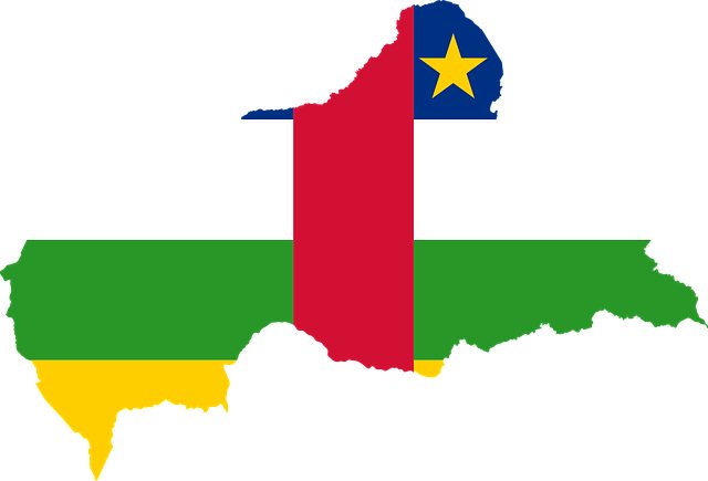
The Central African Republic is a landlocked country that is bordered by a number of other central African countries that include Chad, the DR Congo, the Republic of the Congo, Cameroon, Sudan, and South Sudan.
In 1946 a rebellion forced the French to grant self-government. Formerly known as Ubangi-Shari, the Central African Republic (CAR) declared independence on 13 August 1960.
Central African Republic country info:
Official state name: The Central African Republic
Region: Central Africa
Capital: Bangui
President: Faustin-Archange Touadéra
Population: 4,975,800
Population growth rate: 1.8%
Area: 622,984 km²
Elevation: 369 m
Currency: Central African CFA franc (XAF)
Gross domestic product: 2.303 billion USD
Country code: +236
ISO: CF
Language: Sango, French
Central African Republic National Symbols:
National day: 1 December
National anthem: La Renaissance (The Rebirth)
National motto: Unity, Dignity, Work (French: Unité, Dignité, Travail)
National dish: Poulet Nyembwe
National animal: The elephant
National tree: The baobab tree
National flower: King Protea
Did you know:
Despite its significant mineral deposits and resources that include gold, crude oil, uranium, diamonds, cobalt, and lumber, the Central African Republic has one of the world’s poorest populations. How many states in Africa suffer the same fate?
This country within Africa ranks last out of 188 countries on the United Nations Human Development Index.
10 | CHAD
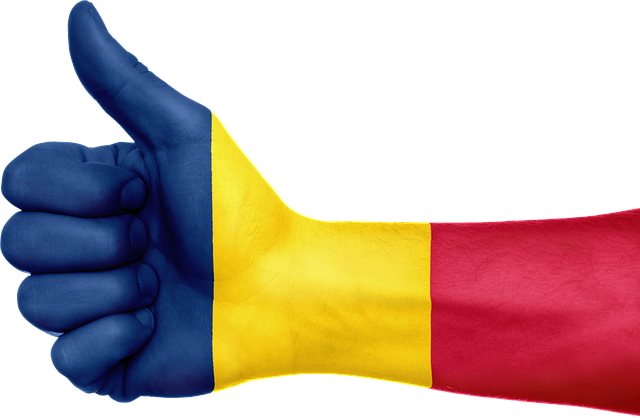
Chad is a landlocked country found at the crossroads of North and Central Africa. It is bordered by Libya to the north, the Central African Republic to the south, Cameroon to the south-west, Sudan to the east, Nigeria to the southwest, and Niger to the west.
Chad attained its independence from France on August 11th 1960.
Chad country info:
Official state name: The Republic of Chad
Region: Central Africa
Capital: N’Djamena
President: Mahamat Idriss Déby
Population: 17,245,074
Population growth rate: 3.0%
Area: 1,284,000 km²
Elevation: 299 m
Currency: Central African CFA franc (XAF)
Gross domestic product: 10.09 billion USD
Country code: +235
ISO: TD
Language: French, Arabic
Chad National Symbols:
National day: 11 August
National anthem: La Tchadienne (People of Chad)
National motto: Unity, Work, Progress (French: Unité, Travail, Progrès)
National dish: La Bouillie
National animal: The goat, the lion
National tree: Myrtus nivellei
National flower: Gerbera daisy flower
Did you know:
The flags of Chad and Romania are identical with both flags having the blue, yellow and red stripes. Flag experts, however, say that Chad’s blue is deeper than the Romanian blue.
Check out this list to see which country has the most beautiful flag in the world.
11 | COMOROS
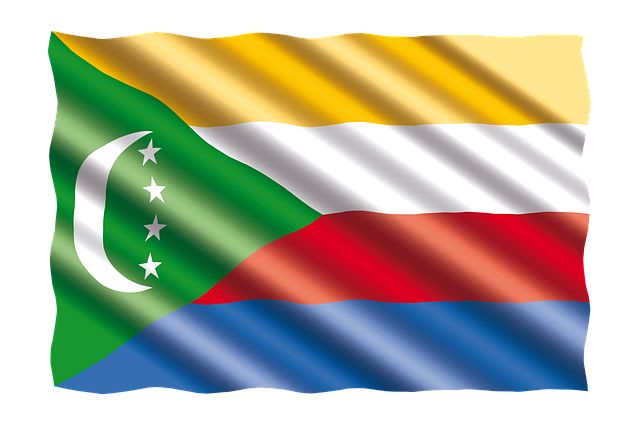
The Comoros is a group of volcanic islands in the Indian Ocean found at the northern end of the Mozambique Channel. It lies about 180 miles (290 km) off the eastern coast of Africa between Madagascar and the African mainland.
This predominantly Muslim country comprises four main islands – Ngazidja (French: Grande Comore), Mwali (French: Mohéli), Nzwani (French: Anjouan) and Maore (French: Mayotte).
Comoros country info:
Official state name: The Union of the Comoros
Region: East Africa
Capital: Moroni
President: Azali Assoumani
Population: 901,758
Population growth rate: 2.2%
Area: 1,862 km²
Elevation: 30 m
Currency: Comorian franc (KMF)
Gross domestic product: 1.22 billion USD
Country code: +269
ISO: KM
Language: Comorian, French, Arabic
Comoros National Symbols:
National day: 6 July
National anthem: Udzima wa ya Masiwa (The Union of the Great Islands)
National motto: Unity, Solidarity, Development (French: Unité, Solidarité, Développement).
National dish: Langouste a la vanille
National animal: Mongoose Lemur
National tree: No national tree declared
National flower: Ylang ylang
Did you know:
Various groups have inhabited the Comoros archipelago going as far back as 800-1000 AD. This island country in Africa was colonised by France in the 19th century and became independent in 1975.
12 | DEMOCRATIC REPUBLIC OF THE CONGO
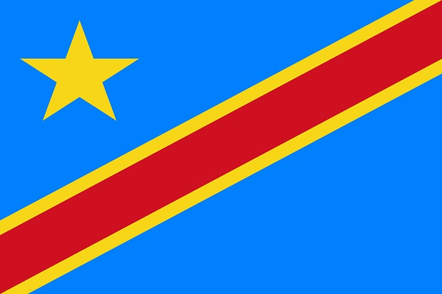
The Democratic Republic of Congo is a country in Central Africa that is among the most resource-rich countries on Earth, with an abundance of gold, tungsten, tantalum, and tin.
Belgian colonization of the DRC began in 1885 when King Leopold II founded and ruled the Congo Free State. The country achieved independence from Belgium on 30 June 1960 following an uprising by the Congolese people.
Democratic Republic of the Congo country info:
Official state name: The Democratic Republic of the Congo
Region: Central Africa
Capital: Kinshasa
President: Felix Tshisekedi
Population: 94,263,560
Population growth rate: 3.1%
Area: 2,344,858 km²
Elevation: 280 m
Currency: Congolese franc (CDF)
Gross domestic product: 49.87 billion USD
Country code: +243
ISO: CD
Language: French
Democratic Republic of the Congo National Symbols:
National day: 30 June
National anthem: Debout Congolais (Arise Congolese)
National motto: Justice, Peace, Work (French: Justice – Paix – Travail)
National dish: Poulet à la Moambé
National animal: okapi
National tree: The Lombi Conga Basin
National flower: Helvola Waterlily
Did you know:
With an area of 2.34 million km2, the Democratic Republic of the Congo (DRC) is one of the largest countries within Africa, with people from over 200 ethnic groups and almost 250 languages.
How many African countries do we have so far? Next up is the…
13 | REPUBLIC OF THE CONGO
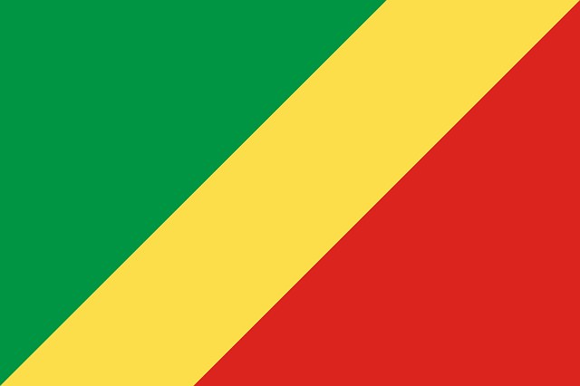
The Republic of Congo is a country situated astride the Equator in west-central Africa that is bordered to the west by Gabon, to the northwest by Cameroon, to the north by the Central African Republic, and to the east and south by the Democratic Republic of the Congo.
It was formerly part of the French colony of Equatorial Africa. The Republic of the Congo was established on 28 November 1958 and gained independence from France in 1960.
Republic of the Congo country info:
Official state name: The Republic of the Congo
Region: Central Africa
Capital: Brazzaville
President: Denis Sassou Nguesso
Population: 5,753,083
Population growth rate: 2.5%
Area: 342,000 km²
Elevation: 290 m
Currency: Congolese franc (CDF)
Gross domestic product: 10.88 billion USD
Country code: +242
ISO: CG
Language: French
Republic of the Congo National Symbols:
National day: 15 August
National anthem: La Congolaise (The Congolese)
National motto: Unity, Work, Progress (French: Unité, Travail, Progrès)
National dish: Poulet à la Moambé
National animal: No national animal declared
National tree: Landolphia owariensis
National flower: No national flower declared
Did you know:
The Congo River is the deepest river in the world with a depth of 220 m (720 feet) in parts.
14 | DJIBOUTI
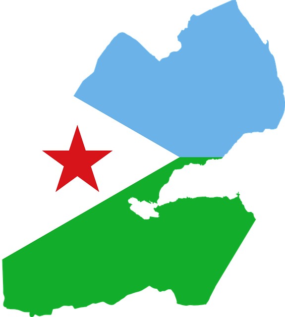
Djibouti is a country located in the Horn of Africa on the Strait of Mandeb, which separates the Gulf of Aden and the Red Sea. Its strategic location at the southern entrance to the Red Sea, between Africa and the Middle East, is its strength.
The country is bordered by Eritrea in the north, Somalia in the south, and Ethiopia in the southwest. Independence Day, celebrated on 27 June each year, is a national holiday in Djibouti to mark the territory’s declaration of independence from France in 1977.
Djibouti country info:
Official state name: the Republic of Djibouti
Region: East Africa
Capital: Djibouti City
President: Ismail Omar Guelleh
Population: 1,013,735
Population growth rate: 1.5%
Area: 23 200 km²
Elevation: 14 m
Currency: Djiboutian franc
Gross domestic product: 3.384 billion USD
Country code: +253
ISO: DJ
Language: French, Arabic
Djibouti National Symbols:
National day: 27 June
National anthem: Djibouti
National motto: Unity, Equality, Peace (French: Unité, Égalité, Paix)
National dish: Skudahkharis
National animal: The elk
National tree: No national tree declared
National flower: Cape Daisy
Did you know:
Djibouti is home to one of the saltiest bodies of water in the world. Lake Assal, in the Danakil Desert, lies 155 m (509 ft) below sea level in the Afar Triangle, making it the lowest point on the continent of Africa.
15 | EGYPT
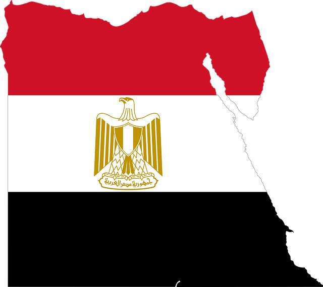
Egypt is a transcontinental country extending across the northeast corner of Africa and the southwest corner of Asia by a land bridge formed by the Sinai Peninsula. It dates to the time of the pharaohs with millennia-old monuments and landmarks to show for it.
During the 18th century, Egypt was officially part of the Ottoman Empire, having been conquered in 1517. The French retained a presence in Egypt until 1801, when they were forced out of the territory by joint British- Ottoman forces. The British formally occupied Egypt in 1882 until 1922, controlling the government through a protectorate.
Egypt country info:
Official state name: The Arab Republic of Egypt
Region: North Africa
Capital: Cairo
President: Abdel Fattah Saeed Hussein Khalil el-Sisi
Population: 105,690,718
Population growth rate: 1.9%
Area: 1,002,450 km²
Elevation: 23 m
Currency: Egyptian pound (EGP)
Gross domestic product: 363.1 billion USD
Country code: +20
ISO: EG
Language: Modern Standard Arabic
Egypt National Symbols:
National day: 23 July
National anthem: Bilady, Bilady, Bilady (My Country, My Country, My Country)
National motto: No official motto
National dish: Koshary (check out the full list of Egyptian food here)
National animal: Steppe eagle
National tree: Hyphaene thebaica
National flower: The Egyptian lotus
Did you know:
A number of countries in Africa are famous for their ancient kingdoms. Egypt is home to one of the world’s earliest and most significant civilizations, going all the way back to around 3,200 B.C.
16 | EQUATORIAL GUINEA
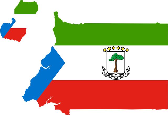
Equatorial Guinea is a country on the west coast of Central Africa comprising the Rio Muni mainland and 5 volcanic offshore islands.
The history of Equatorial Guinea is marked by centuries of colonial domination by the Portuguese, British and Spanish colonial empires. Equatorial Guinea gained its independence from Spain on 12 October 1968.
Equatorial Guinea country info:
Official state name: The Republic of Equatorial Guinea
Region: Central Africa
Capital: Malabo (de jure), Oyala (seat of government)
President: Teodoro Obiang Nguema Mbasogo
Population: 1,483,081
Population growth rate: 3.4%
Area: 28,051 km²
Elevation: 2 m
Currency: Central African CFA franc (XAF)
Gross domestic product: 10.02 billion USD
Country code: +240
ISO: GQ
Language: Spanish, Portuguese, French
Equatorial Guinea National Symbols:
National day: 12 October
National anthem: Caminemos pisando las sendas de nuestra inmensa felicidad (Let Us Tread the Path of our Immense Happiness)
National motto: Unity, Peace, Justice (Spanish: Unidad, Paz, Justicia)
National dish: Succotash
National animal: The giraffe
National tree: Kapok tree
National flower: Vernonia djalonensis
Did you know:
The first inhabitants of the region that is now referred to as Equatorial Guinea are believed to have been Pygmies. Currently only isolated pockets remain in northern Río Muni.
17 | ERITREA
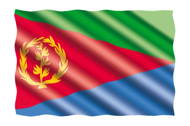
Eritrea is a northeast African country located on the Red Sea coast that is rich archeological sites and historical places. It shares borders with Ethiopia, Djibouti, and Sudan.
The Ottoman empire made Eritrea one of its colonies and colonised it for 300 years. Three other countries, Italy, the United Kingdom, and Ethiopia, also colonized Eritrea. The Eritrean War of Independence was fought between successive Ethiopian governments and Eritrean independence fighters from 1961 to 1991. The African State of Eritrea formally achieved its independence from Ethiopia on May 24, 1993.
Eritrea country info:
Official state name: The State of Eritrea
Region: East Africa
Capital: Asmara
President: Isaias Afwerki
Population: 3,631,792
Population growth rate: 1.69%
Area: 117,600 km²
Elevation: 2,325 m
Currency: Eritrean nakfa (ERN)
Gross domestic product: 2.09 billion USD
Country code: +291
ISO: ER
Language: Tigrinya, Tigre, Standard Arabic
Eritrea National Symbols:
National day: 24 May
National anthem: Ertra, Ertra, Ertra (Eritrea, Eritrea, Eritrea)
National motto: State of Eritrea (Arabic: دولة إرترݐا, Tigrinya: Dawlat Iritrīya)
National dish: Zigni
National animal: Arabian camel
National tree: –
National flower: Gerbera daisy flower
Did you know:
The number of archeological sites and historical places in Eritrea exceeds 80,000 and the country has one of the highest archeological discoveries in Africa.
18 | ESWATINI
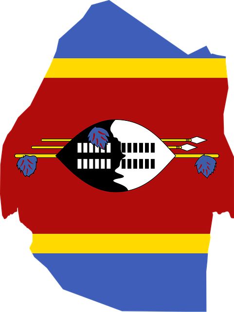
Eswatini, formerly Swaziland, is a landlocked country in Southern Africa that is almost entirely surrounded by South Africa except to its northeast by Mozambique.
Swaziland was a British protectorate from 1871 until its independence on Sept. 6, 1968.
Eswatini country info:
Official state name: The Kingdom of Eswatini
Region: Southern Africa
Capital: Mbabane (administrative), Lobamba (legislative and royal)
Prime Minister: Cleopas Dlamini
Population: 1,181,060
Population growth rate: 1.0%
Area: 17,364 km²
Elevation: 1,245 m
Currency: Swazi lilangeni (SZL)
Gross domestic product: 3.962 billion USD
Country code: +268
ISO: SZ
Language: Swati, English
Eswatini National Symbols:
National day: 6 September
National anthem: Nkulunkulu Mnikati wetibusiso temaSwati (O Lord our God of the Swazi)
National motto: We are the fortress (Swazi: Siyinqaba)
National dish: Karoo roast ostrich steak
National animal: Thomson’s gazellema
National tree: The Tamboti tree
National flower: The Edelweiss
Did you know:
Eswatini is the last remaining absolute monarchy in Africa and one of the few left in the world. This form of government, ruled by King Mswati III, gives a monarch supreme reign.
19 | ETHIOPIA
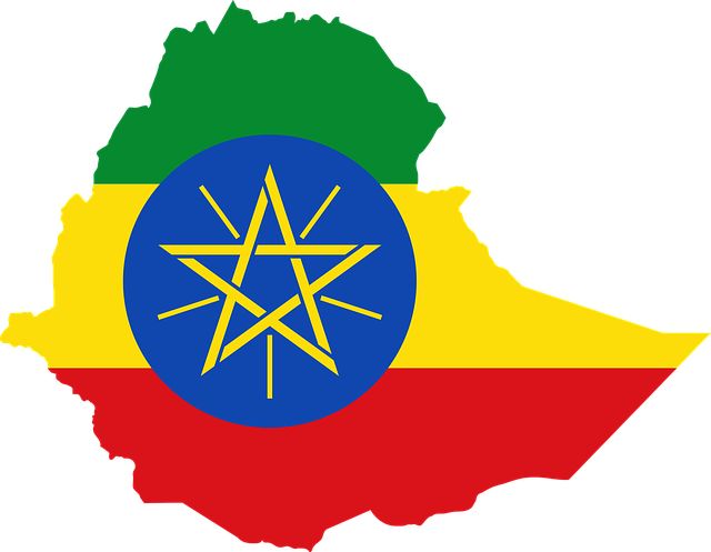
Ethiopia, located in the Horn of Africa, is a rugged landlocked country split by the Great Rift Valley. It is bordered by Eritrea to the north, Kenya to the south, Somalia to the east, Djibouti to the northeast, and South Sudan and Sudan to the west.
Originally founded in 980 BC, Ethiopia is the oldest independent nation on the African continent. Africa’s oldest country was also never colonized by a European power, but was occupied by Italians in 1936. How many African countries are there that can boast the same?
Ethiopia country info:
Official state name: The Federal Democratic Republic of Ethiopia
Region: East Africa
Capital: Addis Ababa
President: Sahle-Work Zewde
Population: 119,913,931
Population growth rate: 2.5%
Area: 1,104,300 km²
Elevation: 2,355 m
Currency: Ethiopian birr (ETB)
Gross domestic product: 107.6 billion USD
Country code: +251
ISO: ET
Language: Afar, Amharic, Oromo, Somali, Tigrinya
Ethiopia National Symbols:
National day: 28 May
National anthem: Wodefit Gesgeshi, Widd Innat Ityopp’ya (March Forward, Dear Mother Ethiopia)
National motto: Ethiopia holds up her hands unto God (Ge’ez: ኢትዮጵያ ታበድ አደዊሃ ሃበ አግዚአብሐር; Itiyopia tabetsih edewiha habe Igziabiher)
National dish: Doro wat
National animal: African lion
National tree: The Coral tree
National flower: Calla lily
Did you know:
Ethiopia is the continent’s oldest country and the only country on this list of African countries that evaded colonial rule. Furthermore, Ethiopia is the only country in Africa with its own script, that was constructed in the second century. The country is also home to the lowest place on the African continent, the Danakil Depression.
20 | GABON
Gabon is a country on the Atlantic coast of central Africa. Located on the equator, it borders Cameroon, Equatorial Guinea, and the Republic of Congo.
France occupied Gabon in 1885. In 1910 Gabon became one of the four territories of French Equatorial Africa. On 15 July 1960 France agreed to Gabon becoming fully independent and this officially happened on 17 August 1960.
Gabon country info:
Official state name: The Gabonese Republic
Region: Central Africa
Capital: Libreville
President: Ali Bongo Ondimba
Population: 2,317,036
Population growth rate: 2.4%
Area: 267,668 km²
Elevation: 2 m
Currency: Central African CFA franc (XAF)
Gross domestic product: 15.59 billion USD
Country code: +241
ISO: GA
Language: French
Gabon National Symbols:
National day: 17 August
National anthem: La Concorde (The Concorde)
National motto: Union, Work, Justice (French: Union, Travail, Justice)
National dish: Nyembwe chicken
National animal: The black panther
National tree: Flame tree
National flower: Delonix regia
Did you know:
Almost 90% of Gabon is covered with rainforest and the country contains about a quarter of Africa’s entire fauna in these rainforests alone.
21 | THE GAMBIA
The Gambia is a small West African country that is almost completely surrounded by Senegal except for a narrow Atlantic coastline.
Originally called Banjulo by the Portuguese, The Gambia was included as a part of British West Africa from 1821 to 1843. Gambia formally achieved its independence from Britain and became a member of the Commonwealth of Nations on February 18, 1965.
The Gambia country info:
Official state name: The Republic of The Gambia
Region: West Africa
Capital: Banjul
President: Adama Barrow
Population: 2,534,487
Population growth rate: 2.9%
Area: 10,689 km²
Elevation: 3 m
Currency: Gambian dalasi (GMD)
Gross domestic product: 1.902 billion USD
Country code: +220
ISO: GM
Language: English
The Gambia National Symbols:
National day: 18 February
National anthem: For The Gambia Our Homeland
National motto: Progress, Peace, Prosperity
National dish: Domoda
National animal: Spotted hyena
National tree: Palm tree
National flower: White variety orchid
Did you know:
Of all the countries of Africa found on the mainland, The Gambia is the smallest. Following the course of the River Gambia, this long strip of land is very narrow, measuring less than 30 miles wide at its widest.
22 | GHANA
Ghana is a country in West Africa that spans the Gulf of Guinea and the Atlantic Ocean. It shares borders with the Ivory Coast, Burkina Faso, and Togo.
Of all the countries on Africa, Ghana was the first to gain independence from colonial rule when it gained independence from Britain in 1957. It’s amazing to read how many African nations then followed suit.
Ghana country info:
Official state name: The Republic of Ghana
Region: West Africa
Capital: Accra
President: Nana Akufo-Addo
Population: 32,198,933
Population growth rate: 2.1%
Area: 238,533 km²
Elevation: 61 m
Currency: Ghanaian cedi (GHS)
Gross domestic product: 72.35 billion USD
Country code: +233
ISO: GH
Language: English
Ghana National Symbols:
National day: 6 March
National anthem: God Bless Our Homeland Ghana
National motto: Freedom and Justice
National dish: Fufu
National animal: The tawny eagle
National tree: The Cocoa Tree
National flower: Hibiscus flowers
Did you know:
Ghana, formerly known as the Gold Coast, became the first self-governing country on Africa in 1957, under president Kwame Nkrumah.
23 | GUINEA

Guinea is a country in West Africa, bordered on the west by the Atlantic Ocean and Guinea-Bissau. Other neighbouring countries include Senegal, Mali, Cote d’Ivoire, Liberia, and Sierra Leone.
Guinea’s colonial period began with French arrival into the area in the early to mid-19th century. Guinea declared its independence from France on 2 October 1958, with Sekou Toure as the new nation’s first leader.
Guinea country info:
Official state name: The Republic of Guinea
Region: West Africa
Capital: Conakry
President: Mamady Doumbouya
Population: 13,751,974
Population growth rate: 2.8%
Area: 245,857 km²
Elevation: 2 m
Currency: Guinean franc (GNF)
Gross domestic product: 5.68 billion USD
Country code: +224
ISO: GN
Language: French
Guinea National Symbols:
National day: 2 October
National anthem: Liberté (Freedom)
National motto: Work, Justice, Solidarity (French: Travail, Justice, Solidarité)
National dish: Poulet Yassa
National animal: The African forest elephant
National tree: Silk cotton tree
National flower: Vernonia djalonensis
Did you know:
Guinea is richly endowed with minerals, possessing the largest deposits of bauxite and iron ore in the world. It is one of a handful of African nations that are also a gold and diamond producer.
24 | GUINEA-BISSAU
Guinea-Bissau is a country on West Africa’s Atlantic coast. This tropical country is bordered by Senegal to the north, Guinea to the south and east, with the Atlantic Ocean to its west.
The country became a Portuguese colony in the 19th century, called Portuguese Guinea. In September 1973 the nation declared independence as Guinea-Bissau.
Guinea-Bissau country info:
Official state name: The Republic of Guinea-Bissau
Region: West Africa
Capital: Bissau
President: Umaro Sissoco Embaló
Population: 2,048,864
Population growth rate: 2.4%
Area: 36,125 km²
Elevation: 8 m
Currency: West African CFA franc (XOF)
Gross domestic product: 1.432 billion USD
Country code: +245
ISO: GW
Language: Portuguese
Guinea-Bissau National Symbols:
National day: 24 September
National anthem: Esta É a Nossa Pátria Bem Amada (This Is Our Beloved Country)
National motto: Unity, Struggle, Progress (Portuguese: Unidade, Luta, Progresso)
National dish: Caldo Mancarra
National animal: The black-crowned crane
National tree: African Baobab
National flower: Vernonia djalonensis
Did you know:
Guinea-Bissau was once part of the kingdom of Gabu from the Mali Empire until the 19th century when it became a colony of Portugal.
25 | IVORY COAST
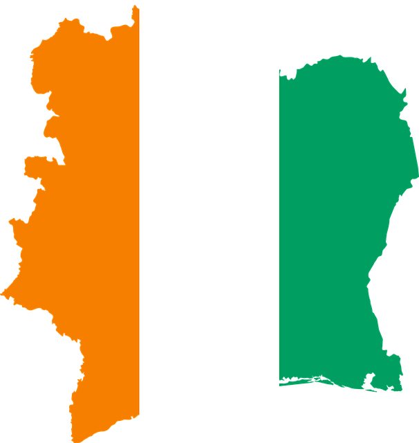
Côte d’Ivoire is a West African country known for its beach resorts, cocoa, rainforests and a French-colonial legacy. It lies along the Gulf of Guinea of the North Atlantic Ocean.
France claimed Côte d’Ivoire as a colony in 1893. It achieved independence on 7 August 1960, led by Félix Houphouët-Boigny, who ruled the country until 1993.
Ivory Coast country info:
Official state name: The Republic of Côte d’Ivoire
Region: West Africa
Capital: Yamoussoukro
President: Alassane Ouattara
Population: 27,512,003
Population growth rate: 2.5%
Area: 322,463 km²
Elevation: 214 m
Currency: West African CFA franc (XOF)
Gross domestic product: 61.35 billion USD
Country code: +225
ISO: CI
Language: French
Ivory Coast National Symbols:
National day: 7 August
National anthem: L’Abidjanaise (Song of Abidjan)
National motto: Unity, Discipline, Labor (French: Union, Discipline, Travail)
National dish: Fufu
National animal: The elephant
National tree: No national tree declared
National flower: Baobab Flower
Did you know:
Ivory Coast is the world’s leading producer of cocoa beans, supplying almost a third of the world’s total. The country also has the largest church in the world, the Our Lady of Peace of Yamoussoukro Basilica.
26 | KENYA
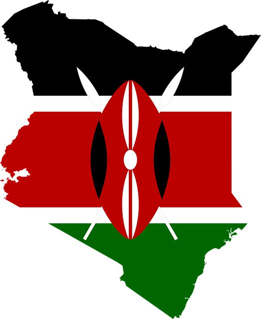
Kenya is a country in Eastern Africa with coastline on the Indian Ocean that is renowned for its landscapes and vast wildlife parks.
The British Empire colonized Kenya in 1895 to protect its commercial interests in East Africa. On December 12, 1963, Kenya declares its independence from Britain under the Kenya Independence Act.
Kenya country info:
Official state name: The Republic of Kenya
Region: East Africa
Capital: Nairobi
President: Uhuru Kenyatta
Population: 55,820,858
Population growth rate: 2.3%
Area: 580,367 km²
Elevation: 1,795 m
Currency: Kenyan shilling (KES)
Gross domestic product: 98.84 billion USD
Country code: +254
ISO: KE
Language: Swahili, English
Kenya National Symbols:
National day: 12 December
National anthem: Ee Mungu Nguvu Yetu (Oh God of All Creation)
National motto: All pull together (Swahili: Harambee)
National dish: Ugali
National animal: The East African lion
National tree: The acacia tree
National flower: The tropical orchid
Did you know:
Kenya was part of the British Empire in Africa from 1920 to 1963. The country gained independence from Britain on the 12th December 1963, and this date now represents Jamhuri Day, the country’s National Day.
27 | LESOTHO
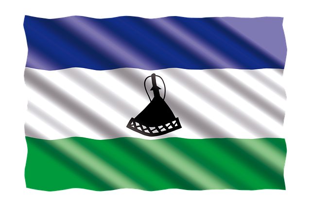
Lesotho is a landlocked country in Africa’s southern region. Located between the Drakensberg and Maloti mountain ranges, it is entirely surrounded by South Africa.
Lesotho was under the British Crown Colony of Basutoland until it declared independence from the United Kingdom on 4 October 1966. As an independent nation it is now a member of the United Nations, the Commonwealth of Nations, and the African Union.
Lesotho country info:
Official state name: The Kingdom of Lesotho
Region: Southern Africa
Capital: Maseru
Prime minister: Moeketsi Majoro
Population: 2,171,792
Population growth rate: 0.8%
Area: 30,355 km²
Elevation: 1,600 m
Currency: Lesotho loti
Gross domestic product: 1.845 billion USD
Country code: +266
ISO: LS
Language: Sesotho; English
Lesotho National Symbols:
National day: 4 October
National anthem: Lesotho Fatše La Bontata Rona (Lesotho, Land of Our Fathers)
National motto: Peace, Rain, Prosperity (Sotho: Khotso, Pula, Nala)
National dish: Papa
National animal: The black rhinoceros
National tree: Maytenus hetrophylla
National flower: The Aloe Polyphylla
Did you know:
Lesotho is known as Africa’s “Kingdom in the sky.” 80% of this high altitude country lies above 1800 m. The nation’s lowest point is at 1,400 metres (4,593 ft), the highest lowest point of any country.
28 | LIBERIA
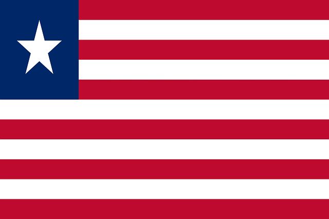
Liberia is a country in West Africa, bordering Sierra Leone, Guinea, and Côte d’Ivoire.
The founding of Liberia on 7 January 1822 is directly tied to the history of America and of the Atlantic Slave Trade. Liberia declared independence on July 26 1847, which the United States government did not recognize until February 5 1862.
Liberia country info:
Official state name: The Republic of Liberia
Region: West Africa
Capital: Monrovia
President: George Weah
Population: 5,264,344
Population growth rate: 2.4%
Area: 111,369 km²
Elevation: 8 m
Currency: Liberian dollar (LRD)
Gross domestic product: 2.95 billion USD
Country code: +231
ISO: LR
Language: English
Liberia National Symbols:
National day: 26 July
National anthem: All Hail, Liberia, Hail!
National motto: The love of liberty brought us here
National dish: Dumboy
National animal: The Asiatic lion
National tree: The Palm tree
National flower: Pepper Flower
Did you know:
Liberia is Africa’s oldest republic and was established in 1821 on land acquired for freed U.S. slaves by the American Colonization Society.
29 | LIBYA
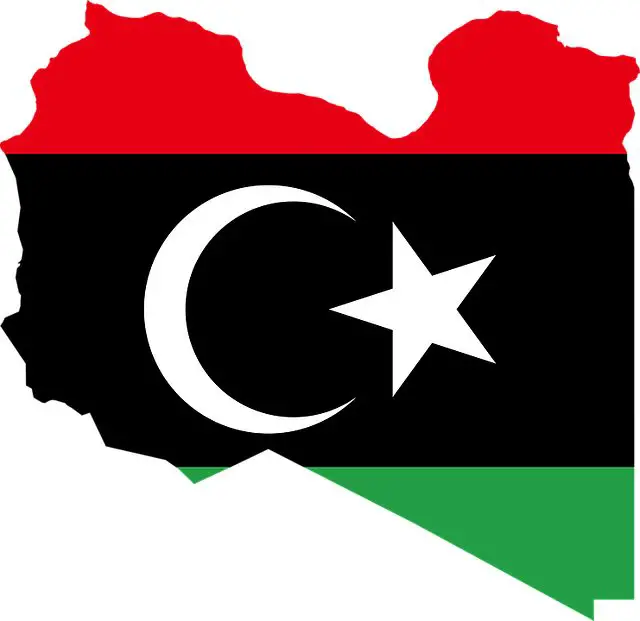
Libya is a country in the Maghreb region of Northern Africa. It lies adjacent to the Mediterranean Sea and borders the African states of Egypt, Sudan, Chad, Niger, Algeria, and Tunisia.
Libya had been a semi-independent province of the Ottoman Empire from 1711 to 1835, an Italian colony from 1912 until 1947, and under British and French occupation from 1943 to 1951. The country became independent as a kingdom on 24 December 1951, following a declaration by King Idris I.
Libya country info:
Official state name: The State of Libya
Region: North Africa
Capital: Tripoli
President: Fayez al-Sarraj
Population: 7,033,810
Population growth rate: 1.4%
Area: 1,759,540 km²
Elevation: 80 m
Currency: Libyan dinar (LYD)
Gross domestic product: 25.42 billion USD
Country code: +218
ISO: LY
Language: Arabic
Libya National Symbols:
National day: 24 December
National anthem: Libya, Libya, Libya
National motto: No official motto
National dish: Couscous
National animal: The African lion, the Arabian Eagle
National tree: No national tree
National flower: Pomegranate Blossom
Did you know:
While 90% of the country is located within the extensive Sahara desert, Libya is the country in Africa with the largest proven oil reserves.
30 | MADAGASCAR

Madagascar is an island country of Africa in the Indian Ocean. It is found almost 400 kilometres off the coast of the mainland across the Mozambique Channel.
France annexed Madagascar by force and was officially declared as a French colony on 6 August 1896. Throughout the colonial period, France exercised total control over the economy, the administration and the army. Independence Day is celebrated on June 26, marking the country’s independence from France in 1960.
Madagascar country info:
Official state name: The Republic of Madagascar
Region: East Africa
Capital: Antananarivo
President: Andry Nirina Rajoelina
Population: 28,924,577
Population growth rate: 2.6%
Area: 587,041 km²
Elevation: 1,275 m
Currency: Malagasy ariary (MGA)
Gross domestic product: 13.72 billion USD
Country code: +261
ISO: MG
Language: Malagasy; French
Madagascar National Symbols:
National day: 26 June
National anthem: Ry Tanindrazanay malala ô! (Oh, Beloved Land of our Ancestors)
National motto: Love, Ancestral-land, Progress (Malagasy: Fitiavana, Tanindrazana, Fandrosoana)
National dish: Romazava
National animal: the ring-tailed lemur, the zebu
National tree: The baobab
National flower: The Poinciana
Did you know:
Madagascar is the fourth largest island in the world. It is home to some of the world’s most unique flora and fauna, with most of Madagascar’s wildlife found nowhere else on Earth.
31 | MALAWI
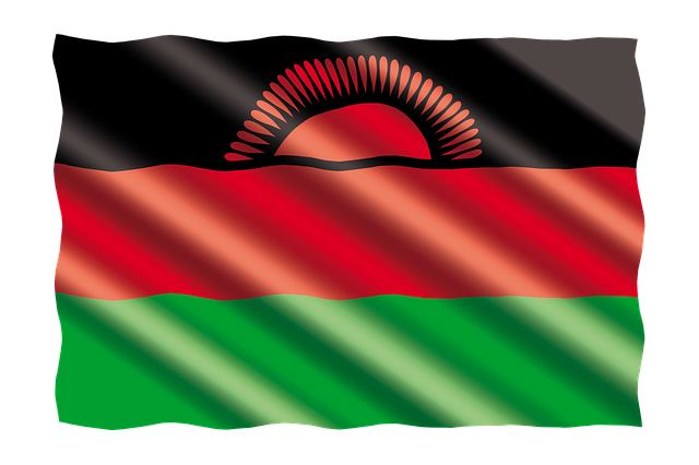
Malawi, a landlocked country in southeastern Africa, has a landscape that is defined by its terrain of highlands split by the Great Rift Valley and Lake Malawi.
The region was ruled by the British, under whose control it was referred to first as British Central Africa and later Nyasaland. It became part of the Federation of Rhodesia and Nyasaland. The country achieved full independence, as Malawi, in 1964.
Malawi country info:
Official state name: The Republic of Malawi
Region: East Africa
Capital: Lilongwe
President: Lazarus Chakwera
Population: 19,989,233
Population growth rate: 2.7%
Area: 118,484 km²
Elevation: 1,050 m
Currency: Malawian kwacha (MWK)
Gross domestic product: 11.96 billion USD
Country code: +265
ISO: MW
Language: English; Chewa
Malawi National Symbols:
National day: 6 July
National anthem: Mulungu dalitsa Malaŵi (God Bless Malawi)
National motto: Unity and Freedom
National dish: Nsima
National animal: Thomson’s gazelle
National tree: The Mulanje cedar
National flower: Lotus
Did you know:
Even though Malawi is landlocked, a fifth of the country is water. Lake Malawi contains the largest number of fish species of any lake in the world.
32 | MALI
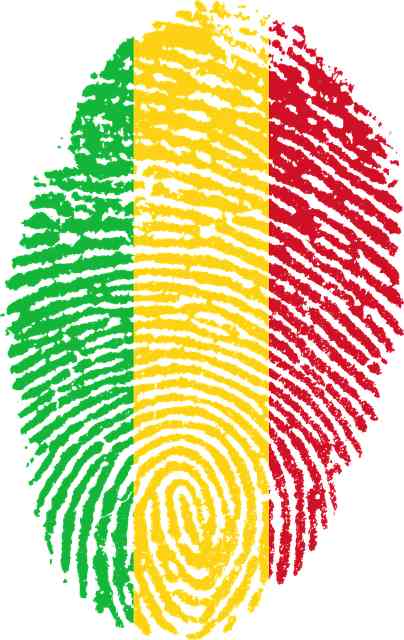
Mali is a landlocked country in the west African Saharan and Sahelian regions.
The Mali Empire had a long and rich history and it controlled important trade routes across the Sahara Desert to Europe and the Middle East. The country fell under French colonial rule in 1892. On 31 March 1960 France agreed to the Federation of Mali becoming fully independent. On 20 June 1960, the Federation of Mali became an independent country and Modibo Keïta became its first President.
Mali country info:
Official state name: The Republic of Mali
Region: West Africa
Capital: Bamako
President: Assimi Goïta
Population: 21,264,605
Population growth rate: 3.0%
Area: 1,240,192 km²
Elevation: 330 m
Currency: West African CFA franc (XOF)
Gross domestic product: 17.39 billion USD
Country code: +223
ISO: ML
Language: French, Bambara
Mali National Symbols:
National day: 22 September
National anthem: Le Mali (Mali)
National motto: One people, one goal, one faith (French: Un peuple, un but, une foi)
National dish: Tiguadege Na
National animal: The vulture
National tree: Pterocarpus erinaceus
National flower: –
Did you know:
Mali was once one of the richest countries in the world. The nation was part of the three west-African Empire that controlled the Trans-Saharan trade.
33 | MAURITANIA
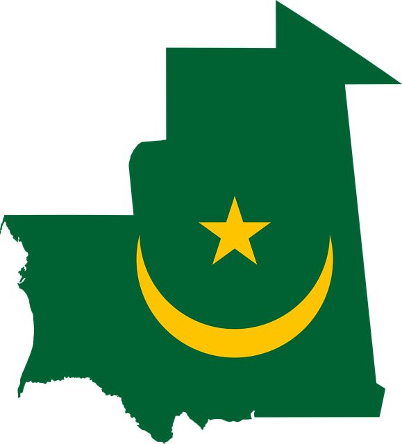
Mauritania is a sovereign state in Northwest Africa. It is bordered by the Atlantic Ocean to the west, Western Sahara to the north and northwest, Algeria to the northeast, Mali to the east and southeast, and Senegal to the southwest. Mauritania is essentially a desert country, with 90% of its territory situated in the Sahara.
France established Mauritania as a colonial territory in 1904. Mauritania gained independence in 1960, with Nouakchott as its capital.
Mauritania country info:
Official state name: The Islamic Republic of Mauritania
Region: Northwest Africa
Capital: Nouakchott
President: Mohamed Ould Ghazouani
Population: 4,862,103
Population growth rate: 2.7%
Area: 1,030,700 km²
Elevation: 7 m
Currency: Mauritanian ouguiya (MRU)
Gross domestic product: 7.779 billion USD
Country code: +222
ISO: MR
Language: Arabic
Mauritania National Symbols:
National day: 28 November
National anthem: Bilada-l ubati-l hudati-l kiram (Country of the Proud, Guiding Noblemen)
National motto: Fraternity, Justice (Arabic: شرف، إخاء، عدالة, French: Honneur, Fraternité, Justice)
National dish: Thieboudienne
National animal: African wild cat
National tree: The Turpentine tree (Pistacia terebinthus)
National flower: Mauritanian Mallow
Did you know:
Mauritania is the last country to abolish slavery in 1981. Nonetheless, the country still has the largest number of slaves of any place in the world.
34 | MAURITIUS
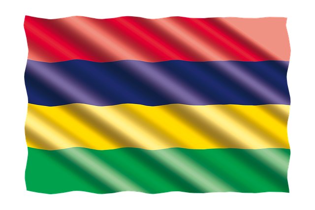
Mauritius is a volcanic island country surrounded by the warm waters of the Indian Ocean about 2,000 kilometres (1,200 mi) to the east of the mainland African continent. This tropical island is popular with families due to its pristine white sand beaches, lagoons, and coral reefs.
Mauritius was colonized by the Netherlands, France, and Great Britain. Following the general election in 1967, Mauritius adopted a new constitution and independence was proclaimed on 12 March 1968. Mauritius achieved the status of republic 24 years later on 12 March 1992.
Mauritius country info:
Official state name: The Republic of Mauritius
Region: East Africa
Capital: Port Louis
President: Prithvirajsing Roopun
Population: 1,275,440
Population growth rate: 0.0%
Area: 2,040 km²
Elevation: 19 m
Currency: Mauritian rupee (MUR)
Gross domestic product: 10.91 billion USD
Country code: +230
ISO: MU
Language: English; French
Mauritius National Symbols:
National day: 12 March
National anthem: Motherland
National motto: Star and key of the Indian Ocean (Latin: Stella Clavisque Maris Indici)
National dish: Dholl puri
National animal: The Dodo
National tree: Ebony tree
National flower: Trochetia boutoniana
Did you know:
Of all the countries from Africa, Mauritius has the highest population density, with over 1.2 million people living here. The island nation also ranks as the safest country in Africa.
35 | MOROCCO
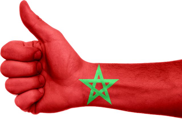
Morocco is a North African country, bordering the North Atlantic Ocean and the Mediterranean Sea, found between Algeria and the annexed Western Sahara.
Morocco become a target for colonization due to its abundance of natural resources available that include phosphate, iron ore, manganese, salt, zinc, and fish. On 30 March 1912, Morocco became a French protectorate under the Treaty of Fez. The Spanish protectorate in Morocco was established on 27 November 1912 by a treaty between France and Spain that converted the Spanish sphere of influence in Morocco into a formal protectorate.
After 44 years of colonization Morocco finally became an independent country again.
Morocco country info:
Official state name: The Kingdom of Morocco
Region: North Africa
Capital: Rabat
Prime minister: Aziz Akhannouch
Population: 37,669,172
Population growth rate: 1.2%
Area: 446,550 km²
Elevation: 11 m
Currency: Moroccan dirham (MAD)
Gross domestic product: 112.9 billion USD
Country code: +212
ISO: MA
Language: Arabic, Standard Moroccan Berber
Morocco National Symbols:
National day: 18 November
National anthem: Hymne Chérifien (Cherifian Anthem)
National motto: God, the Country, the King (Arabic: الله، الوطن، الملك; Allāh, Al-Waṭan, Al-Malīk)
National dish: Tagine, couscous
National animal: Barbary lion
National tree: Argan Tree
National flower: The rose
Did you know:
The area of what is now called Morocco has been inhabited since at least Paleolithic times, beginning between 190,000 and 90,000 BC.
36 | MOZAMBIQUE
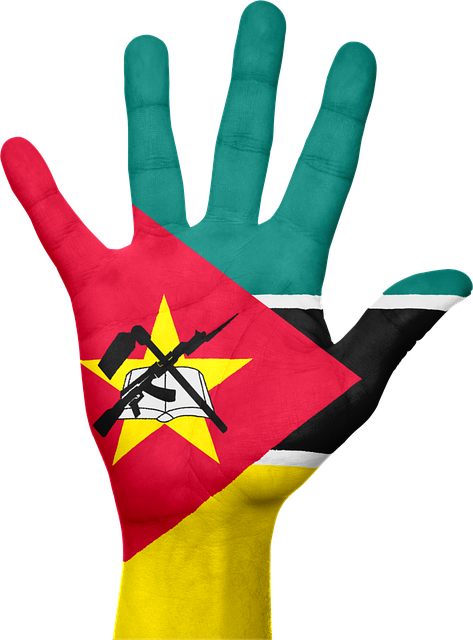
Mozambique is a southern African nation with a long coastline along the Indian Ocean, hiding secluded beaches and tropical islands. It is bordered by South Africa to the southwest, Eswatini to the south, Zimbabwe and Zambia to the west, and Tanzania to its north.
Mozambique was a Portuguese colony in 1505, an overseas province and later a member state of Portugal. It gained independence from Portugal in 1975.
Mozambique country info:
Official state name: The Republic of Mozambique
Region: East Africa
Capital: Maputo
President: Filipe Nyusi
Population: 32,772,641
Population growth rate: 2.9%
Area: 801,590 km²
Elevation: 47 m
Currency: Mozambican metical (MZN)
Gross domestic product: 14.02 billion USD
Country code: +258
ISO: MZ
Language: Portuguese
Mozambique National Symbols:
National day: 25 June
National anthem: Pátria Amada (Beloved Homeland)
National motto: No official motto
National dish: Xima
National animal: The African elephant
National tree: Leadwood Bushwillow Tree
National flower: Maroon Bell Bean
Did you know:
Dia da Independência Nacional, Independence Day, is a national holiday celebrated on June 25th, commemorating Mozambique’s independence from Portugal on June 25 1975.
37 | NAMIBIA
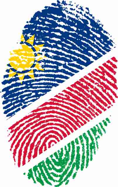
Namibia is a country in southwest Africa that is recognized by its distinct Namib Desert along the Atlantic Ocean coast. Neighboring African nations include Angola to the north, Zambia to the northeast, Botswana to the east, and South Africa in the south.
The region of Namibia, previously called German South West Africa was formally colonized by Germany in 1884. It gained independence on 21 March 1990.
Namibia country info:
Official state name: The Republic of Namibia
Region: Southern Africa
Capital: Windhoek
President: Hage Geingob
Population: 2,620,925
Population growth rate: 1.8%
Area: 825,615 km²
Elevation: 1,655 m
Currency: Namibian dollar (NAD)
Gross domestic product: 10.7 billion USD
Country code: +264
ISO: NA
Language: English, German, Afrikaans
Namibia National Symbols:
National day: 21 March
National anthem: Namibia, Land of the Brave
National motto: Unity, liberty, justice
National dish: Pap
National animal: The Oryx
National tree: The quiver tree
National flower: Welwitschia
Did you know:
Namibia, the world’s second least densely populated country, is home to the oldest desert in the world. The Namib desert is 80 million years old.
38 | NIGER
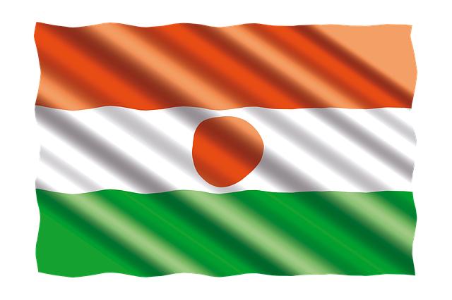
Niger is a landlocked country in West Africa that is named after the Niger River that flows through this unitary African state. It is surrounded by 7 African nations — Libya, Chad, Nigeria, Benin, Burkina Faso, Mali, and Algeria.
Niger was incorporated into French West Africa in 1896. Despite frequent rebellions, it was made a colony in 1922. In 1958, the territory became an autonomous republic within the French Community. Independence was finally declared on 3 August 1960 under the leadership of Hamani Diori.
Niger country info:
Official state name: The Republic of the Niger
Region: West Africa
Capital: Niamey
President: Mohamed Bazoum
Population: 25,729,079
Population growth rate: 3.8%
Area: 1,267,000 km²
Elevation: 207 m
Currency: West African CFA franc (XOF)
Gross domestic product: 13.68 billion USD
Country code: +227
ISO: NE
Language: French, Hausa
Niger National Symbols:
National day: 18 December
National anthem: La Nigérienne (The Nigerien)
National motto: Fraternity, Work, Progress (French: Fraternité, Travail, Progrès)
National dish: Djerma Stew
National animal: The dama gazelle
National tree: None declared
National flower: Costus Spectabilis
Did you know:
Located across some of the hottest points of the Sahara, Niger is considered to be one of the hottest countries in the world and is aptly nicknamed the “frying pan of the world.”
39 | NIGERIA
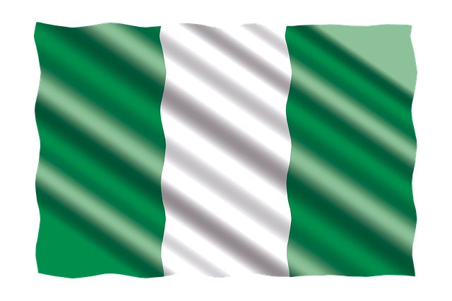
No list of African countries in alphabetical order is complete without Nigeria, the richest country in Africa. This enterprising country, located on the Gulf of Guinea along the Atlantic Ocean, comprises of 36 states and the Federal Capital Territory, where Abuja is located. Other neighbouring countries include Niger to the north, Chad and Cameroon to the east, and Benin to the west.
Nigeria gained a degree of self-rule in 1954, and full independence from the United Kingdom on October 1, 1960, as the Federation of Nigeria.
Nigeria country info:
Official state name: The Federal Republic of Nigeria
Region: West Africa
Capital: Abuja
President: Muhammadu Buhari
Population: 215,175,364
Population growth rate: 2.5%
Area: 923,768 km²
Elevation: 355 m
Currency: Nigerian naira (NGN)
Gross domestic product: 432.3 billion USD
Country code: +234
ISO: NG
Language: English
Nigeria National Symbols:
National day: 1 October
National anthem: Arise, O Compatriots
National motto: Unity and Faith, Peace and Progress
National dish: Jollof rice
National animal: The black-crowned crane
National tree: Camphor tree
National flower: Yellow Trumpet
Did you know:
Nigeria, the most populous country in Africa, was formed in 1914 and gained independence from colonial rule in 1960.
40 | RWANDA
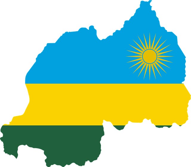
Rwanda is a landlocked country lying south of the Equator in the Great Rift Valley of east-central Africa. Located where the African Great Lakes region and East Africa converge, Rwanda is adjacent to Burundi, Uganda, Tanzania, and the Democratic Republic of the Congo.
The region that later became Rwanda and Burundi was placed under German influence and control following the 1885 Conference of Berlin. Rwanda remained a German colony for only a short period of time. Following Germany’s defeat in World War I, Rwanda was included as part of the Belgian colonial empire as a result of the mandate from the League of Nations.
Rwanda country info:
Official state name: The Republic of Rwanda
Region: East Africa
Capital: Kigali
President: Paul Kagame
Population: 13,509,481
Population growth rate: 2.5%
Area: 26,338 km²
Elevation: 1,565 m
Currency: Rwandan franc (RWF)
Gross domestic product: 10.33 billion USD
Country code: +250
ISO: RW
Language: Kinyarwanda, French, English
Rwanda National Symbols:
National day: 1 July
National anthem: Rwanda Nziza (Beautiful Rwanda)
National motto: Unity, Work, Patriotism (Kinyarwanda: Ubumwe, Umurimo, Gukunda Igihugu)
National dish: Goat brochettes
National animal: The African Leopard
National tree: African Botanic Three-Needled Pine Tree
National flower: The red rose
Did you know:
Often referred to as, “the Land of a thousand hills,” Rwanda is one of the most densely populated of all African countries. It also has the world’s highest percentage of women in parliament.
41 | SÃO TOMÉ AND PRINCIPE
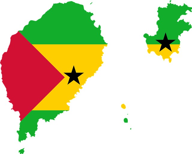
Sao Tome and Principe, an island country of Central Africa, is located on the Equator in the Gulf of Guinea. It comprises two archipelagos around the two main islands of São Tomé and Príncipe that are about 250 km (155 mi) off the north-western coast of Gabon.
The Portuguese arrived on the island of São Tomé, which are uninhabited, around 1470 in search of land to grow sugarcane. The São Tomé and Príncipe islands were a colony of the Portuguese Empire from its discovery until 1975, when it attained independence.
São Tomé and Principe country info:
Official state name: The Democratic Republic of São Tomé and Príncipe
Region: Central Africa
Capital: São Tomé
President: Carlos Vila Nova
Population: 226,225
Population growth rate: 1.9%
Area: 964 km²
Elevation: 137 m
Currency: São Tomé and Príncipe dobra (STD)
Gross domestic product: 472.9 million USD
Country code: +239
ISO: ST
Language: Portuguese
São Tomé and Principe National Symbols:
National day: 12 July
National anthem: Independência total (Total Independence)
National motto: Unity, Discipline, Work (Portuguese: Unidade, Disciplina, Trabalho)
National dish: Calulu
National animal: the São Tomé shrew
National tree: –
National flower: Porcelana Rose
Did you know:
The country was founded by Portuguese in 1470 who named the island Sao Tome after Saint Thomas as they arrived here on Saint Thomas’ day. Sao Tome gained independence in 1975 while Principe became autonomous in 1995.
42 | SENEGAL
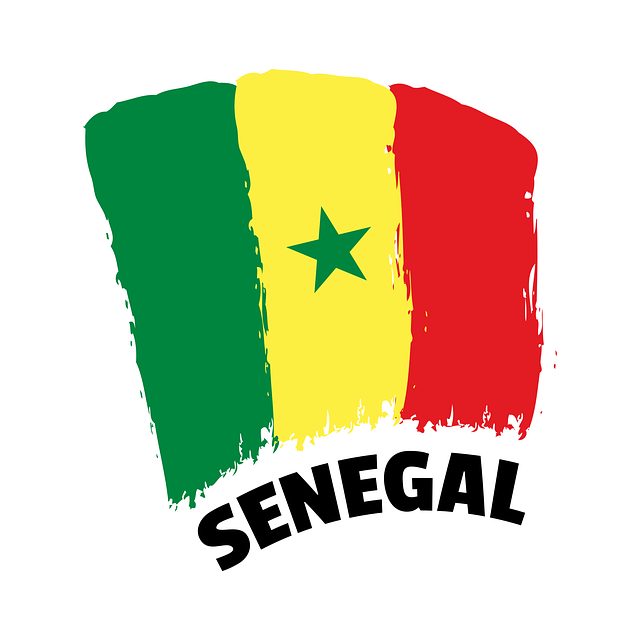
Senegal is a country in West Africa that is bordered by Mauritania in the north, Guinea-Bissau to the southwest., Mali to the east, and Guinea to the southeast. It gets its name from the Senegal River that runs through the land.
Senegal was first colonized during the 15th century by the French, Dutch, Portuguese, and British. The French conquest of Senegal started in 1659. Senegal is also one of the countries on African continent that were involved in the American slave trade. Goree Island was one of the first transport locations of the middle passage of slavery to the Americas.
Senegal country info:
Official state name: The Republic of Senegal
Region: West Africa
Capital: Dakar
President: Macky Sall
Population: 17,510,912
Population growth rate: 2.7%
Area: 196,722 km²
Elevation: 21 m
Currency: West African CFA franc (XOF)
Gross domestic product: 24.91 billion USD
Country code: +221
ISO: SN
Language: French
Senegal National Symbols:
National day: 4 April
National anthem: Pincez Tous vos Koras, Frappez les Balafons (Strum your Koras, Strike the Balafons)
National motto: One people, one goal, one faith (French: Un peuple, un but, une foi)
National dish: Thiéboudienne
National animal: The West African Lion
National tree: The baobab tree
National flower: Baobab flower
Did you know:
Senegal is the westernmost country of the African continent. The African Renaissance Monument in Dakar, standing 160 feet tall on top of a 100 metre hill, is the tallest statue in Africa. It was completed in 2010 to mark 50 years of independence.
43 | SEYCHELLES
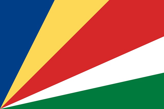
Seychelles is an archipelago of 115 tropical islands in the Indian Ocean. Known for its beautiful landscapes, beaches, nature reserves, and coral reefs. it is located between 480 and 1,600 km from the east coast of Africa. Despite this distance from the mainland, it is politically a part of Africa, found northeast of Madagascar and the eastern edge of the Somali Sea.
Seychelles was controlled by the British since 1794, assuming full control in 1810. This authority was formalized through the Treaty of Paris in 1814, changing the islands’ name from the French Schelles to the Anglicized Seychelles. It became a Crown Colony in 1903, but was still controlled by the British government. This island country finally became self-governing in 1975 and independent on 29 June 1976, within the Commonwealth of Nations.
Seychelles country info:
Official state name: The Republic of Seychelles
Region: East Africa
Capital: Victoria
President: Wavel Ramkalawan
Population: 99,406
Population growth rate: 0.9%
Area: 452 km²
Elevation: 4 m
Currency: Seychellois rupee (SCR)
Gross domestic product: 1.125 billion USD
Country code: +248
ISO: SC
Language: Seychellois Creole, English, French
Seychelles National Symbols:
National day: 18 June
National anthem: Koste Seselwa (Join together all Seychellois)
National motto: The end crowns the work (Latin: Finis coronat opus)
National dish: Fish curry
National animal: Aldabra giant tortoise
National tree: The Coco de Mer (Lodoicea maldivica)
National flower: Tropicbird orchid
Did you know:
Seychelles, occupying an area of only 451 km² and with a population of less than 100,000, is the smallest African nation.
44 | SIERRA LEONE
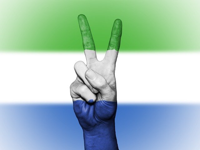
Sierra Leone is a country on the southwest coast of West Africa, bordered by the Atlantic Ocean in the west, Liberia on the south, and Guinea to its east. It is infamous around the world for its blood diamonds which were mined and sold during the country’s violent civil war from 1991 to 2002.
Sierra Leone gained independence from the United Kingdom, becoming a Commonwealth nation, on 27 April 1961.
Sierra Leone country info:
Official state name: The Republic of Sierra Leone
Region: West Africa
Capital: Freetown
President: Julius Maada Bio
Population: 8,258,158
Population growth rate: 2.1%
Area: 71,740 km²
Elevation: 26 m
Currency: Sierra Leonean leone (SLL)
Gross domestic product: 3.865 billion USD
Country code: +232
ISO: SL
Language: English, Krio
Sierra Leone National Symbols:
National day: 27 April
National anthem: High We Exalt Thee, Realm of the Free
National motto: Unity, freedom, justice
National dish: Cassava leaf stew
National animal: The chimpanzee
National tree: The Cotton Tree
National flower: The yellow trumpet
Did you know:
Sierra Leone was named Serra Lyoa (Lion Mountains) as a reference to the range of hills that surrounds the harbour. It played an important role in transatlantic slave trade as the departure point for thousands of west African captives. The capital, Freetown, was founded as a home for repatriated former slaves in 1787.
45 | SOMALIA
Somalia is a country in the Horn of Africa, bordered by the Gulf of Aden, the Indian Ocean, Ethiopia, Djibouti, and Kenya. The country has the longest coastline on Africa’s mainland.
Somalia was colonized in the 19th century, whereby Britain and Italy established the colonies of British Somaliland and Italian Somaliland. These two Somali lands unified and gained independence on July 1, 1960, forming the Somali Republic.
Somalia country info:
Official state name: The Federal Republic of Somalia
Region: East Africa
Capital: Mogadishu
President: Mohamed Abdullahi Farmaajo
Population: 16,663,917
Population growth rate: 2.9%
Area: 637,657 km²
Elevation: 9 m
Currency: Somali shilling (SOS)
Gross domestic product: 4.918 billion USD
Country code: +252
ISO: SO
Language: Somali, Arabic
Somalia National Symbols:
National day: 1 July
National anthem: Qolobaa Calankeed (Praise to the Flag)
National motto: Arise Somalis! (Somali: Soomaaliyeey Toosoo!)
National dish: Bariis Iskukaris
National animal: The leopard
National tree: The African myrrh
National flower: King Protea
Did you know:
The Republic of Somalia was formed in 1960 by the federation of a former Italian colony and a British protectorate. Mohamed Siad Barre held dictatorial rule over the country from October 1969 until January 1991, when he was overthrown in a bloody civil war waged by clan-based guerrillas.
46 | SOUTH AFRICA
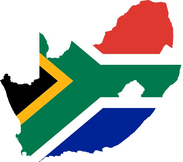
South Africa is a country on the southernmost tip of the African continent. It has a coastline that stretches for over 2,500 km (1,553 mi) along the South Atlantic and the Indian oceans.
The San and Khoisan were the first inhabitants of southern Africa, living here for at least 30,000 years. They are believed to be not only the oldest African tribe, but quite possibly the world’s most ancient race.
The first European settlement in South Africa was established by the Dutch East India Company in 1652, to supply passing ships with fresh produce. The British also wanted to control South Africa because it was one of the trade routes to India as well as because of its resources of gold and diamonds. In 1934, South Africa became a fully sovereign nation state within the British Empire, following the Status of the Union Act.
The country gained independence on 31 May 1961, becoming the Republic of South Africa.
South Africa country info:
Official state name: The Republic of South Africa
Region: Southern Africa
Capital: Pretoria (administrative) Cape Town (legislative) Bloemfontein (judicial)
President: Cyril Ramaphosa
Population: 60,609,361
Population growth rate: 1.3%
Area: 1,221,037 km²
Elevation: 1,340 m
Currency: South African Rand (ZAR)
Gross domestic product: 301.9 billion USD
Country code: +27
ISO: ZA
Language: English, Afrikaans, isiZulu, isiXhosa, isiNdebele, Sepedi, Sesotho, Setswana, siSwati, Tshivenda, Tsonga
South Africa National Symbols:
National day: 27 April
National anthem: Nkosi Sikelel’ iAfrika (God Bless Africa)
National motto: Diverse people unite or Unity in Diversity (lXam: ǃke e꞉ ǀxarra ǁke)
National dish: Bobotie
National animal: Springbok
National bird: Blue crane
National fish: Galjoen
National tree: Real yellowwood (Podocarpus latifolius)
National flower: King protea
Did you know:
The name South Africa is derived from this African country’s geographic location at the southern tip of the continent. The first modern humans are believed to have inhabited South Africa more than 100,000 years ago.
47 | SOUTH SUDAN
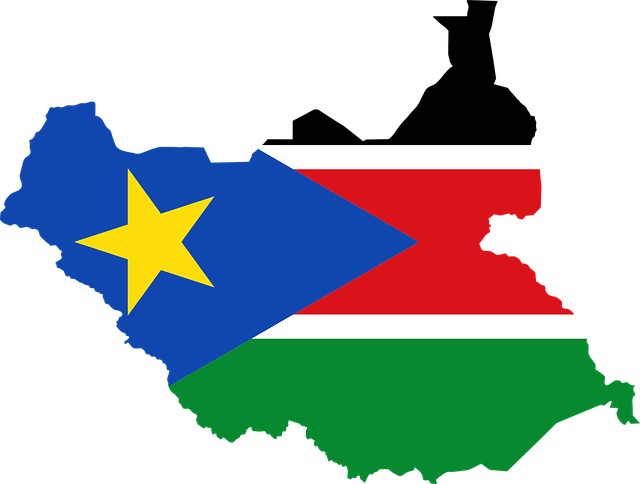
South Sudan is a landlocked country in east central Africa, bordered by neigboring Ethiopia, Sudan, Central African Republic, Democratic Republic of the Congo, Kenya, and Uganda.
In a January 2011 referendum, the majority of South Sudanese voted to secede and become independent from Sudan. In July 2011, South Sudan officially gained independence as the result of a 2005 peace deal that ended the longest-running civil war in Africa, becoming Africa’s first new country since Eritrea split from Ethiopia in 1993.
South Sudan country info:
Official state name: The Republic of South Sudan
Region: North Africa
Capital: Juba
President: Salva Kiir Mayardit
Population: 11,422,005
Population growth rate: 1.2%
Area: 619,745 km²
Elevation: 550 m
Currency: South Sudanese pound (SSP)
Gross domestic product: 4.07 billion USD
Country code: +211
ISO: SS
Language: English
South Sudan National Symbols:
National day: 9 July
National anthem: South Sudan Oyee!
National motto: Justice, Liberty, Prosperity
National dish: Ful Medames
National animal: The African fish eagle
National tree: Umbrella thorn acacia
National flower: Hibiscus
Did you know:
South Sudan is the youngest country in the world. It became the African Union’s 55th member country on July 9, 2011. Prior to 2011, South Sudan was part of Sudan.
48 | SUDAN
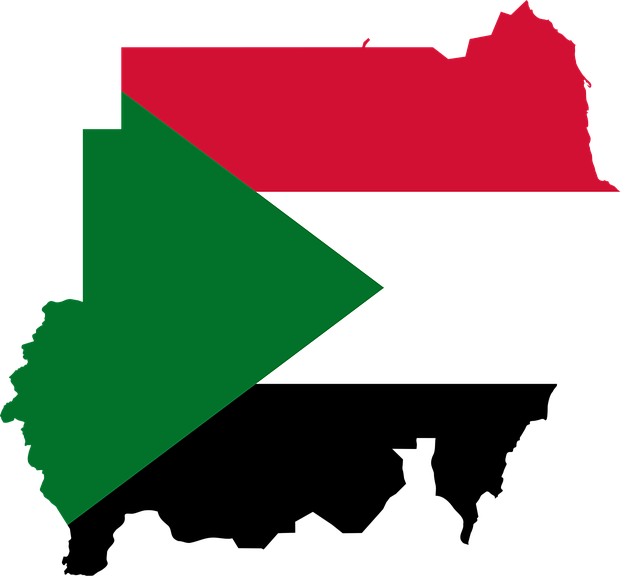
Sudan is a country in Northeast Africa, bordering the Red Sea as well as a handful of countries that include Egypt, Ethiopia, Eritrea, Central African Republic, Chad, Libya, and South Sudan.
Sudan became a colony of the UK and Egypt, between 1899 and 1956, through a dual colonial government known as the Anglo-Egyptian Condominium. It formally attained its independence on January 1, 1956 with Ismail al-Azhari as its leader.
Sudan country info:
Official state name: The Republic of the Sudan
Region: North Africa
Capital: Khartoum
President: Omar Hassan Ahmad al-Bashir
Population: 45,629,166
Population growth rate: 2.4%
Area: 1,886,068 km²
Elevation: 382 m
Currency: Sudanese pound (SDG)
Gross domestic product: 26.11 billion USD
Country code: +249
ISO: SD
Language: Arabic, English
Sudan National Symbols:
National day: 1 January
National anthem: Nahnu Jund Allah Jund Al-watan (We Are the Army of God and of Our Land)
National motto: Victory is Ours (Arabic: النصر لنا; An-Naṣr Linā)
National dish: Ful Medames
National animal: The secretary bird
National tree: Umbrella thorn acacia
National flower: Hibiscus
Did you know:
Sudan was the largest country in Africa prior to the secession of South Sudan in 2011. It is now the third largest African country, after Algeria and the Democratic Republic of the Congo. Following this secession, Sudan also lost most of its oil reserves, estimated to be between five and seven billion barrels.
49 | TANZANIA
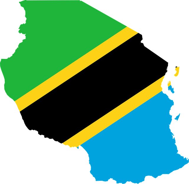
Tanzania is an East African country that is home to vast wilderness areas and landmarks that include Kilimanjaro and the Serengeti National Park.
The country was first colonized when German colonists entered the area in the 1880s and in 1891 the Germans declared the region as part of German East Africa. Britain captured the German holdings during World War I, which became a British mandate under the name Tanganyika Territory. After 71 years of colonial rule, Tanzania attained independence on 9 December 1961. On 26 April 1964 Zanzibar merged with Tanganyika to form the United Republic of Tanzania.
Tanzania country info:
Official state name: The United Republic of Tanzania
Region: East Africa
Capital: Dodoma
President: Samia Suluhu Hassan
Population: 62,691,428
Population growth rate: 2.9%
Area: 945,087 km²
Elevation: 1,125 m
Currency: Tanzanian shilling (TZS)
Gross domestic product: 62.41 billion USD
Country code: +255
ISO: TZ
Language: Swahili, English
Tanzania National Symbols:
National day: 9 December
National anthem: Mungu ibariki Afrika (God Bless Africa)
National motto: Freedom and Unity (Swahili: Uhuru na Umoja)
National dish: Ugali
National animal: The Masai giraffe
National tree: African Blackwood
National flower: Syzygium aromaticum evergreen tree
Did you know:
Olduvai Gorge in Tanzania holds the earliest evidence of the existence of human ancestors. Paleoanthropologists have found hundreds of fossilized bones and stone tools in the area dating back millions of years, leading them to conclude that humans evolved in Africa.
50 | TOGO
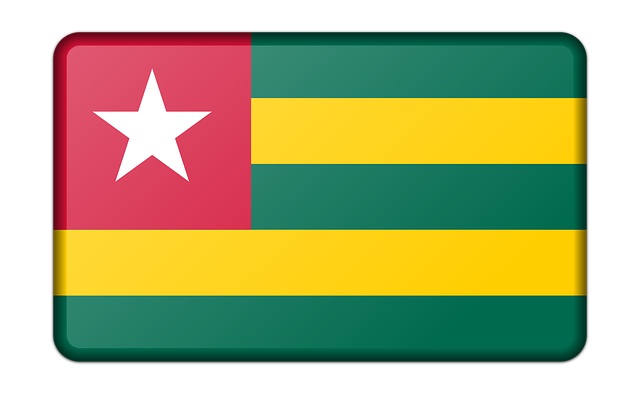
Togo is a West African nation on the Gulf of Guinea, bordering Burkina Faso to the north, Ghana to the west, and Benin to the east.
In 1884, Germany declared the region that includes present-day Togo as a protectorate in West Africa called Togoland. This lasted until 1914, following which rule over Togo was transferred to France after World War I. Togo formally achieved its independence from France on April 27, 1960.
Togo country info:
Official state name: The Togolese Republic
Region: West Africa
Capital: Lomé
President: Faure Gnassingbé
Population: 8,615,514
Population growth rate: 2.4%
Area: 56,785 km²
Elevation: 63 m
Currency: West African CFA franc (XOF)
Gross domestic product: 7.575 billion USD
Country code: +228
ISO: TG
Language: French
Togo National Symbols:
National day: 27 April
National anthem: Salut à toi, pays de nos aïeux (Hail to Thee, Land of our Forefathers)
National motto: Work, liberty, homeland (French: Travail, Liberté, Patrie)
National dish: Fufu
National animal: The African lion
National tree: No national tree declared
National flower: Rose
Did you know:
Togo, one of the smallest countries of Africa, used to be the heart of slave trade in Africa. It was located in the region of West Africa that was known as the “Slave Coast” because of how many Africans were taken from that region.
51 | TUNISIA
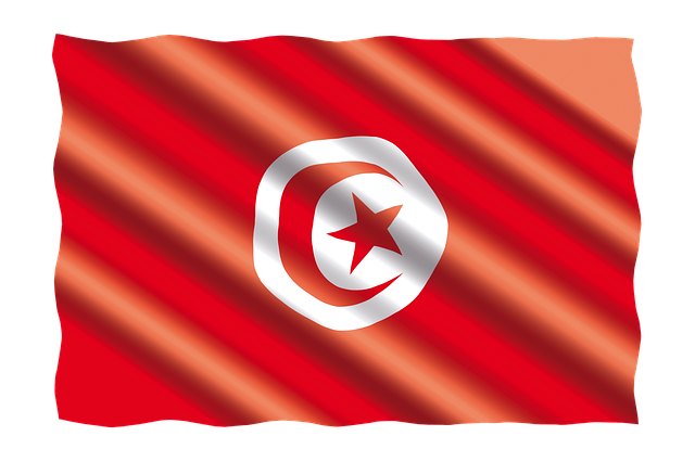
Tunisia is the northernmost country in Africa, known for its ancient Phoenician civilization, Mediterranean coastline, and strategic location. The country is a part of the Maghreb region of North Africa, bordered by Algeria, Libya, and the Mediterranean Sea.
Tunisia came under French rule in 1881 with the establishment of the French protectorate. This ended in 1956 with full Tunisian independence being declared on 20 March 1956, following negotiations between France and Tunisia.
Tunisia country info:
Official state name: The Republic of Tunisia
Region: North Africa
Capital: Tunis
President: Kais Saied
Population: 12,033,741
Population growth rate: 1.1%
Area: 163,610 km²
Elevation: 4 m
Currency: The Tunisian dinar (TND)
Gross domestic product: 39.24 billion USD
Country code: +216
ISO: TN
Language: Arabic
Tunisia National Symbols:
National day: 20 March
National anthem: Humat al-Hima (Defenders of the Homeland)
National motto: Liberty, Dignity, Justice, Order (Arabic: حرية، كرامة، عدالة، نظام; Ḥoṛiya, Kaṛama, ‘Adāla, Niẓam)
National dish: Kosksi
National animal: Cream-colored courser
National tree: Olive Tree
National flower: Jasmine
Did you know:
Cape Angela is the northernmost point of Africa. Tunisia was colonised by France in 1881 and became a French protectorate in 1883. In 1956 the monarchy was abolished and independence was attained.
52 | UGANDA
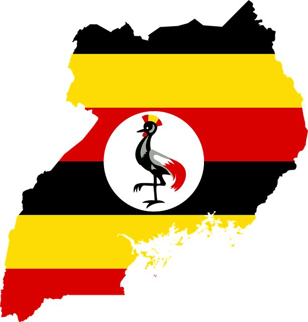
Uganda, a landlocked country in East Africa, is defined by landmark features such as the largest freshwater lake on Africa, the source of the longest river, and the the strongest waterfall.
Uganda was a protectorate of the British Empire from 1894 to 1962. The country gained independence on October 9 1962, with Sir Edward Walugembe as its first president.
Uganda country info:
Official state name: The Republic of Uganda
Region: East Africa
Capital: Kampala
President: Yoweri Museveni
Population: 48,251,357
Population growth rate: 3.3%
Area: 241,550 km²
Elevation: 1,200 m
Currency: Ugandan shilling (UGX)
Gross domestic product: 37.37 billion USD
Country code: +256
ISO: UG
Language: Swahili, English
Uganda National Symbols:
National day: 9 October
National anthem: Oh Uganda, Land of Beauty
National motto: For God and My Country (Swahili: kwa mungu na nchi yangu)
National dish: Matoke
National animal: Grey crowned crane
National tree: The African Cherry Tree
National flower: The Botanic African Tulip Tree
Did you know:
Uganda, populated by dozens of ethnic groups, has the world’s youngest population with over 78 percent of its population below the age of 30. Uganda is also home to half of the world’s remaining mountain gorilla population.
53 | ZAMBIA
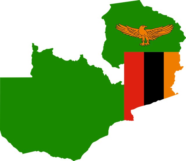
Zambia, known for its natural wonders and abundance of wildlife, is a landlocked country in south-central Africa. It takes its name from the Zambezi River and shares its border with eight other African nations.
Colonization in Zambia, then called Northern Rhodesia, began in 1888 when the British South Africa Company secured mineral rights in the area. The region then became a British Protectorate in 1899, governed as part of Barotziland-North-Western Rhodesia. Zambia finally declared independence in 1964.
Zambia country info:
Official state name: The Republic of Zambia
Region: East Africa
Capital: Lusaka
President: Hakainde Hichilema
Population: 19,278,834
Population growth rate: 2.9%
Area: 752,612 km²
Elevation: 1,280 m
Currency: Zambian kwacha (ZMW)
Gross domestic product: 19.32 billion USD
Country code: +260
ISO: ZM
Language: English, Nyanja, Bemba
Zambia National Symbols:
National day: 24 October
National anthem: Stand and Sing of Zambia, Proud and Free
National motto: One Zambia, One Nation
National dish: Nshima
National animal: The African fish eagle
National tree: The Mukuyu fig tree
National flower: Bougainvillaea
Did you know:
Zambia was once inhabited by the Khoisan and Batwa peoples until around AD 300, when migrating Bantu began to settle the areas. The territory was known as Northern Rhodesia from 1911 to 1964. It was renamed Zambia in October 1964 on its independence from British rule.
54 | ZIMBABWE
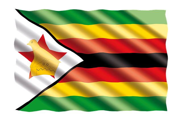
Last but not least on this list of countries in Africa is Zimbabwe, a landlocked country in southern Africa. Located between the Limpopo and Zambezi rivers. Zimbabwe is bounded by Zambia in the north, Mozambique to the east and northeast, South Africa to the south, and Botswana to its west.
Zimbabwe’s colonial era lasted between 1890 and 1980, adopting the name Southern Rhodesia in 1898. The country gained official independence on 18 April 1980.
Zimbabwe country info:
Official state name: The Republic of Zimbabwe
Region: Southern Africa
Capital: Harare
President: Emmerson Mnangagwa
Population: 15,239,236
Population growth rate: 1.5%
Area: 390,757 km²
Elevation: 1,490 m
Currency: Zimbabwe dollar (ZWL)
Gross domestic product: 16.77 billion USD
Country code: +263
ISO: ZW
Language: Shona, English, Ndebele, Southern Sotho, Kalanga, Tshwana, Nambya.
Zimbabwe National Symbols:
National day: 18 April
National anthem: Simudzai Mureza WeZimbabwe (O Lift High the Banner of Zimbabwe)
National motto: Unity, Freedom, Work
National dish: Sadza
National animal: The Sable Antelope
National tree: Botanic African Rosewood Tree
National flower: The Flame Lily
Did you know:
Zimbabwe was the last of all African countries to gain independence from British colonial rule in 1980. Zimbabweans celebrate Independence Day on the 18th April.
Let’s finish off this list of African countries with the number of…
Territories in Africa
Reunion (France)
Mayotte (France)
French Southern and Antarctic Lands (France)
Canary Islands (Spain)
Melilla (Spain)
Ceuta (Spain)
Plazas de Soberania (Spain)
Madeira (Portugal)
Pelagie Islands (Italy)
Socotra Archipelago (Yemen)
Saint Helena, Ascension and Tristan da Cunha (UK)
And voila. I hope you enjoyed discovering the full list of all countries in Africa (54 not 52, not 55, not 56). Now you know how many countries are in Africa.
The next time you need to know the names of all African countries, I’ve got you covered!
Love from Africa by country,
Rai
DON’T FORGET TO SHARE AND PIN THIS. THANKS!
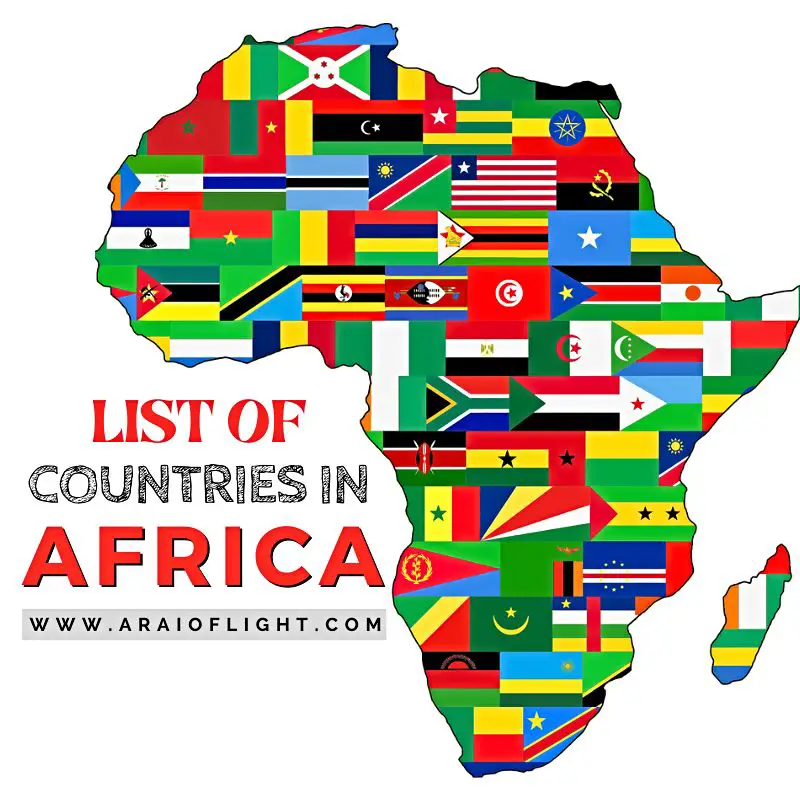
 New Here?


I love it